Features KA-GeoApp
The Geoportal Karlsruhe, or Geodata Infrastructure Karlsruhe (GDI-KA), has been available as an application via the web browser for a number of years and enables spatial information (= geodata) for the city of Karlsruhe to be called up.
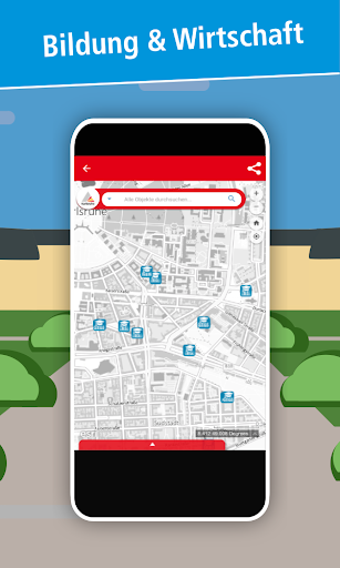
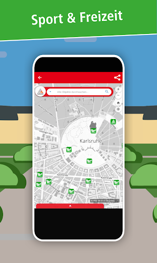
The KA-GeoApp bundles the information from the geoportal and is intended to facilitate access through a surface adapted to the smartphone.Are you interested in restaurants, barbecue areas, sports facilities and many other interesting places in your area?
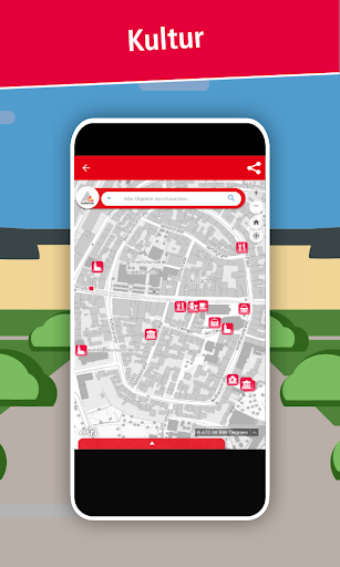
In the Geoportal Karlsruhe you will find information about your desired destination in no time at all and can share it with your friends and acquaintances using the integrated share function.In addition to numerous interesting places, planning documents and background maps in the city area can also be displayed.
The selection ranges from historical city maps and aerial photos from recent years to current development plans.
Social Features
Connect and share with friends and the community.
Gaming Features
Enjoy immersive gaming experience with various game modes.
Camera Features
Advanced camera features with editing capabilities.
See the KA-GeoApp in Action
Get the App Today
Available for Android 8.0 and above